Zettix.com
Graphics: Blender
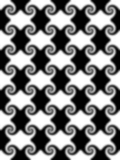
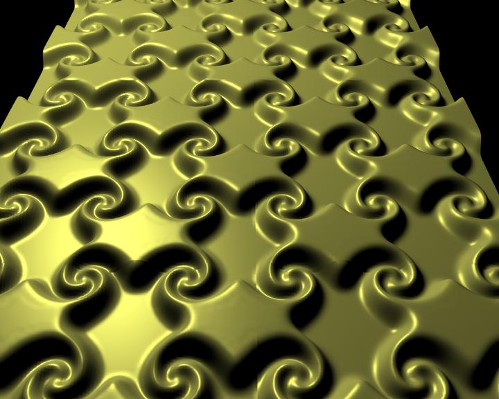
This python program takes a grayscale image as input and produces a
mesh object in blender.
For example, this input image produced this mesh (click for big):
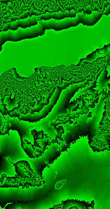
Here I tried to use some USGS Digital Elevation Model data to make
Death Valley,
but there seemed to be a limit to how many triangles can fit in a
single mesh, as
the banding artefacts illustrate:
So by creating a quilt of smaller mesh objects, I was able to create a
rather large mesh of
Death Valley, and rendered an animation. Click here for the
video: deathvalley-mesh.avi
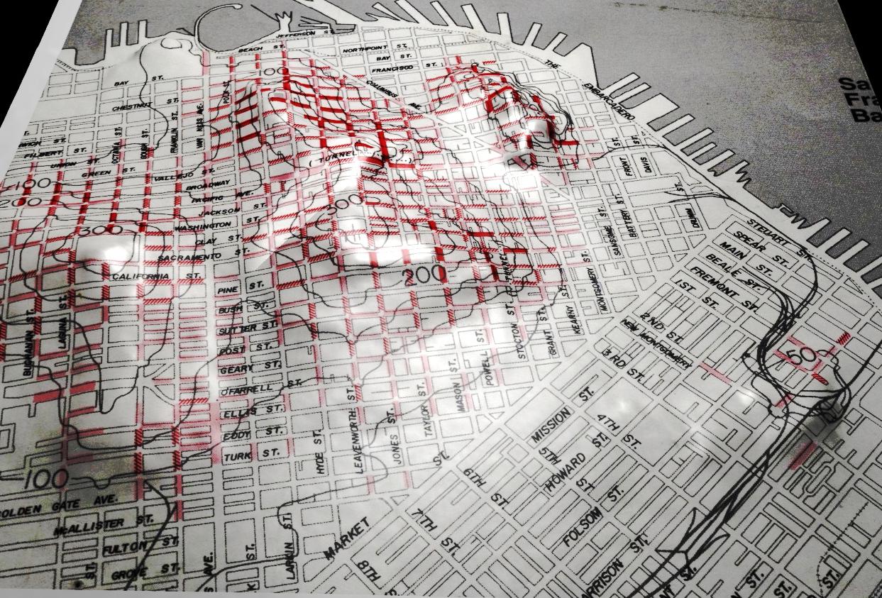
Here is an example of combining height field information with a
texture, in this case, downtown San Francisco:
Here is the plugin: pnmmesh.py
Go Back